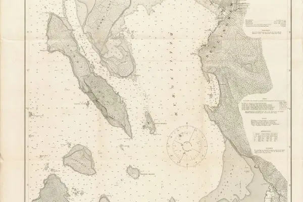
Georeferencing is the process of aligning spatial data from one coordinate system to another, typically linking data from a non-spatial source to spatial data. It…
Why use Python in GIS? Software Requirements: ArcGIS Pro Recommended: VS Code (or PyCharm)
Terrain Analysis is a fundamental component of spatial analysis, providing critical insights into the shape, elevation, and structure of the Earth’s surface. In ArcGIS Pro,…


