
GIS Within Indian Country
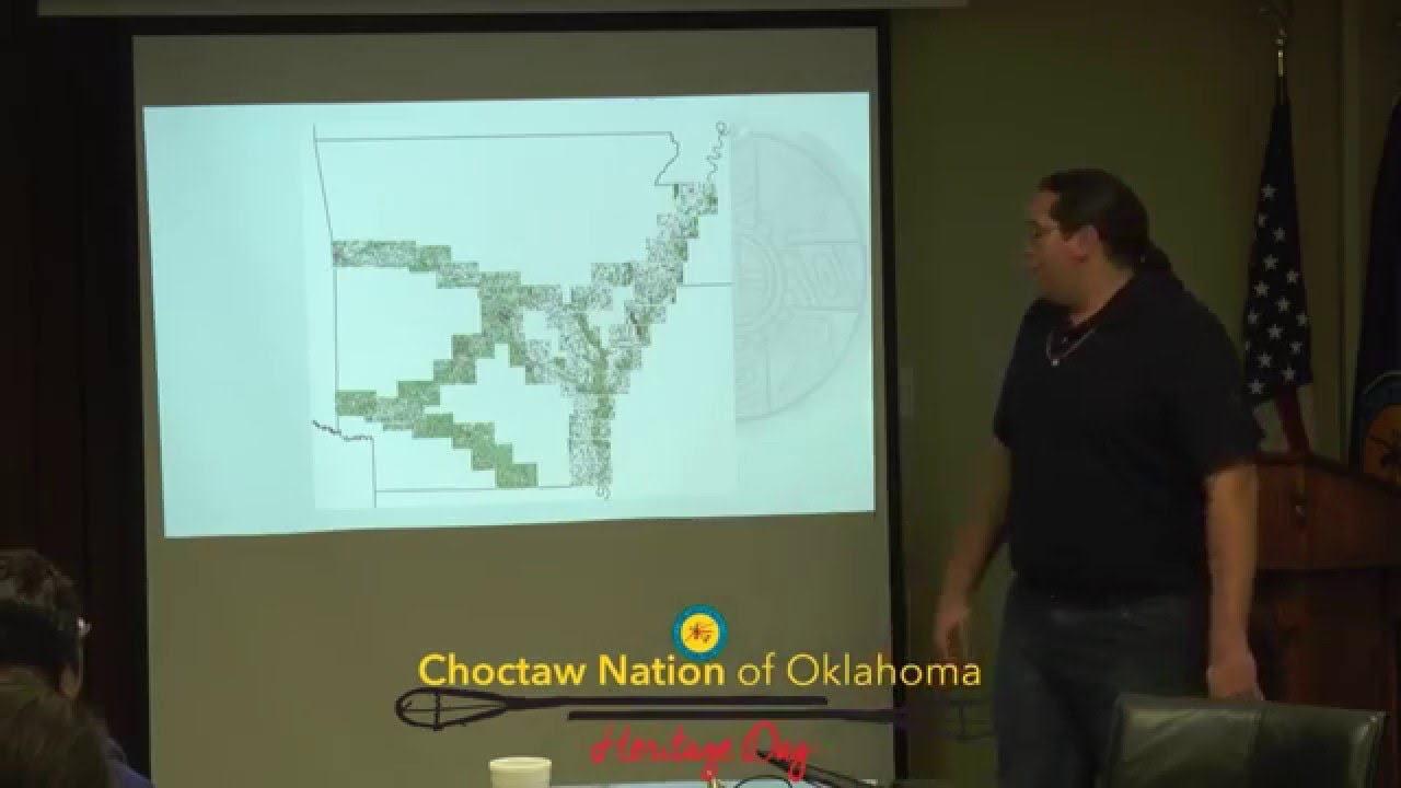
NTGISC President Garet Couch discusses how GIS is being used within Indian Country
Video Description

NTGISC President Garet Couch discusses how GIS is being used within Indian Country
ArcGIS StoryMaps is a story-authoring web-based application that enables you to share your maps in the context of narrative text and other multimedia content. In…
ArcGIS is at the core of a smarter way to perform fieldwork. By leveraging location, users can perform their common tasks in a smarter way.…
This webinar will introduce you to ArcGIS Online, provide an overview of the cloud-based platform and illustrate the basics. This webinar will introduce web maps,…
The most time-consuming part of any GIS project is ensuring that your data is correctly formatted, managed and maintained. The Data Management toolbox in ArcGIS…
ArcGIS Pro provides the tools to integrate, visualize, analyze, and share your data. This webinar will introduce the 64-bit, multi-threaded desktop software, equipped with an…
Choctaw Trail of Tears A GIS Approach

NTGISC President Garet Couch discusses GIS in Indian Country and how GIS is having a positive effect on Tribes by providing Tribal Leaders with the…

CHICKASAW NATION “REDISCOVERS” MONUMENT BOUNDARY STONES
Please confirm you want to block this member.
You will no longer be able to:
Please note: This action will also remove this member from your connections and send a report to the site admin. Please allow a few minutes for this process to complete.
